Coverage can be intermittent
Near-shore routes may move between strong, weak and unavailable cellular areas, making continuous online tracking difficult.

Track small vessels and marine assets with low-power positioning, geofences, history and power-aware reporting for near-shore operations.
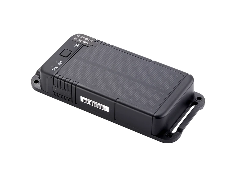
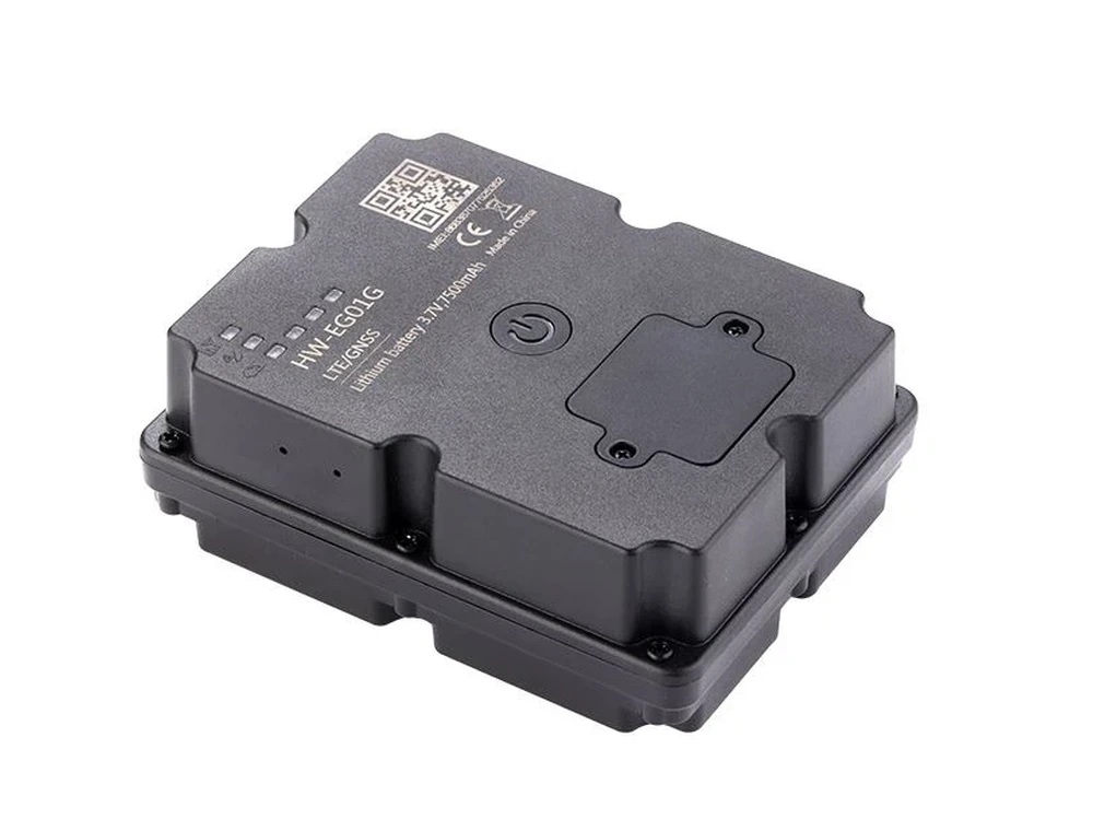
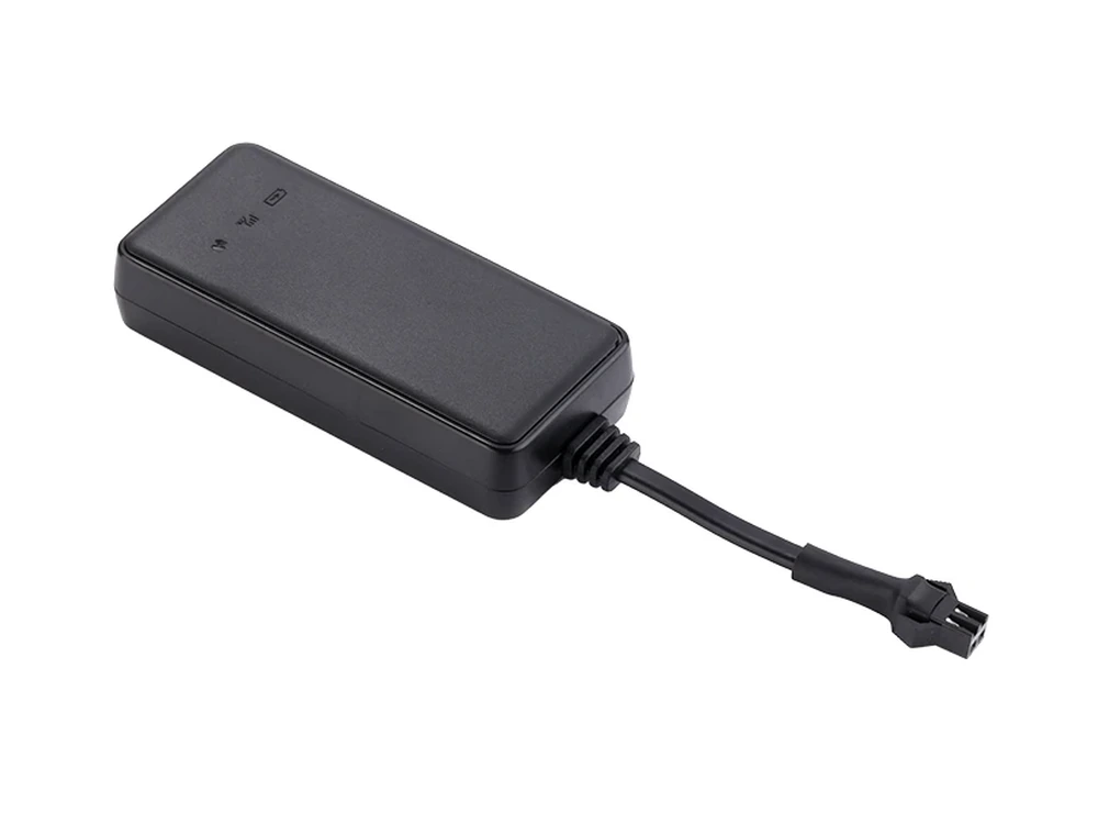
FOFN marine tracking is designed mainly for small fishing boats, workboats, yachts and other marine assets operating where cellular service is available or where a project-specific communication design can be used. Protected installation, low-power reporting and optional solar charging help extend operation. When the network is temporarily unavailable, suitable terminals can retain records for later upload according to device capability.
Near-shore routes may move between strong, weak and unavailable cellular areas, making continuous online tracking difficult.
Many small boats cannot provide stable power continuously, so reporting strategy and charging method matter.
Without digital tracks, managers may only know departure and return times, not the route or stops in between.
Unplanned movement, leaving a harbor area or power loss may need quick attention.
Use a low-power wireless or solar-assisted tracker with protected installation appropriate to the vessel environment.
Choose external power, battery standby or solar-assisted charging and set reporting intervals around the required visibility.
Use available cellular networks for online reporting; for remote projects, communication options can be evaluated separately.
Harbor geofences, vessel groups, history and power alarms provide a simple view for multi-vessel management.
Confirm operating waters, available network coverage, power source and required reporting frequency.
Choose the most suitable terminal and protected mounting location, then configure power-saving settings.
View vessel position, last communication time, route history, geofence events and battery/power condition.
Use trip history to review fishing/work routes, docking periods and abnormal movement.
Managers gain digital position and route records instead of relying only on voice reports.
Power-aware reporting and solar-assisted options can reduce the need for frequent manual charging.
Geofence and movement alarms can highlight unexpected vessel movement.
Multiple boats can be organized in one platform for owners, cooperatives or operating companies.
Tell us the application, country, network conditions and deployment scale. We will recommend suitable devices, sensors and platform functions.